The first projects are being finalised with delivery partners and will appear here as they get underway. Check back soon, or subscribe for updates.
Drought refuges for native fish
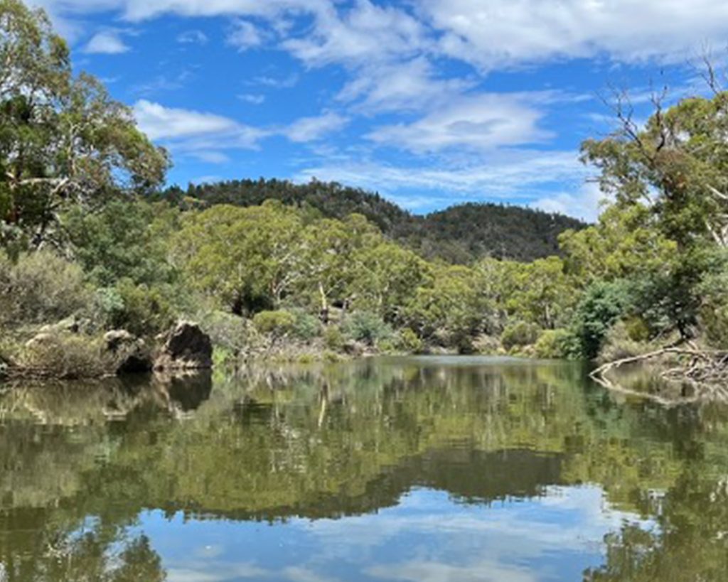
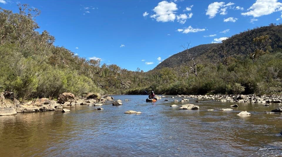
In dry times, deep pools in the upper Murrumbidgee become vital refuges where native fish and other aquatic wildlife can survive. This project identifies the most important of these drought...
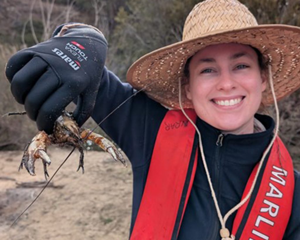
The Murray crayfish is a vulnerable native species found in the upper Murrumbidgee, and little is known about the flows and habitat it needs. This project studies how the species...
Led by Bush Heritage Australia, this project develops a consistent way to measure the condition of the river’s banks and track how they change as recovery work takes effect. It...
Led by the University of Technology Sydney, this project looks at what causes algal blooms in the upper Murrumbidgee and how they can be managed. Blooms of blue-green algae (cyanobacteria)...
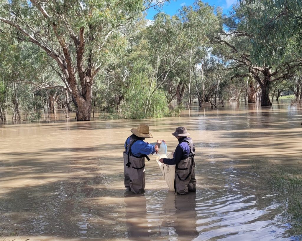
Led by the University of Technology Sydney, this project examines the flows needed to sustain the food web that supports fish and other river life. Seasonal and event-based sampling at...
Fine-scale modelling of riffles – the shallow, fast-flowing sections that are critical habitat. The project will identify the minimum flows needed for fish to pass through and for healthy water bug communities,...
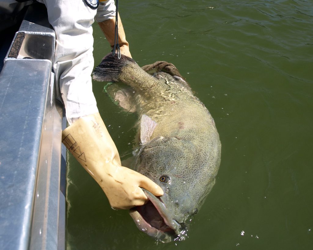
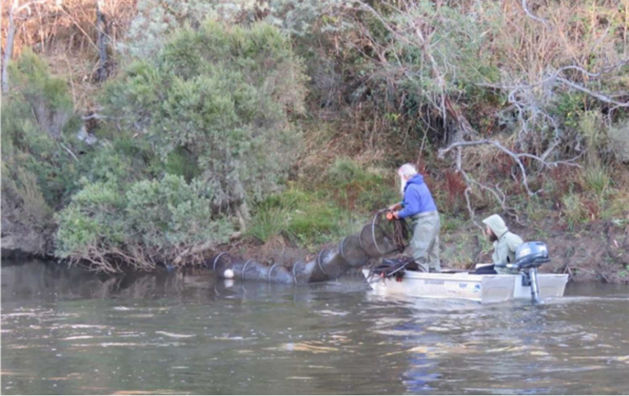
Annual sampling of juvenile Murray cod at eight riffle sites, five in the ACT and three in New South Wales, combined with genetic analysis to trace how young fish disperse...
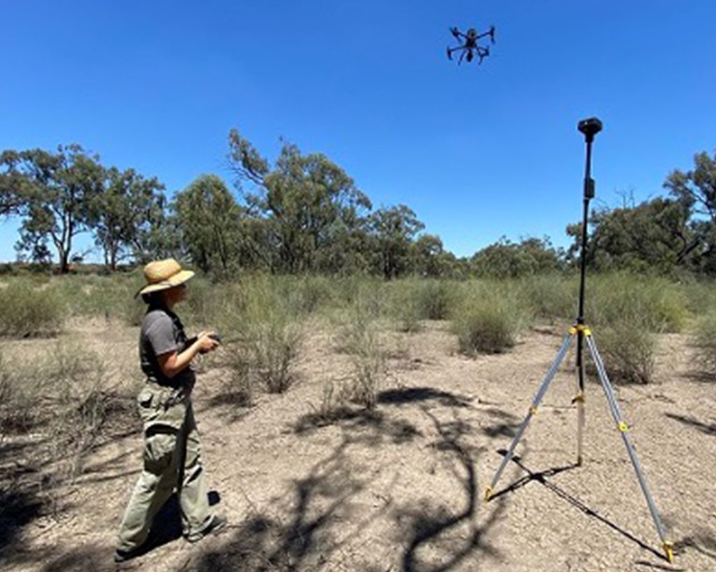
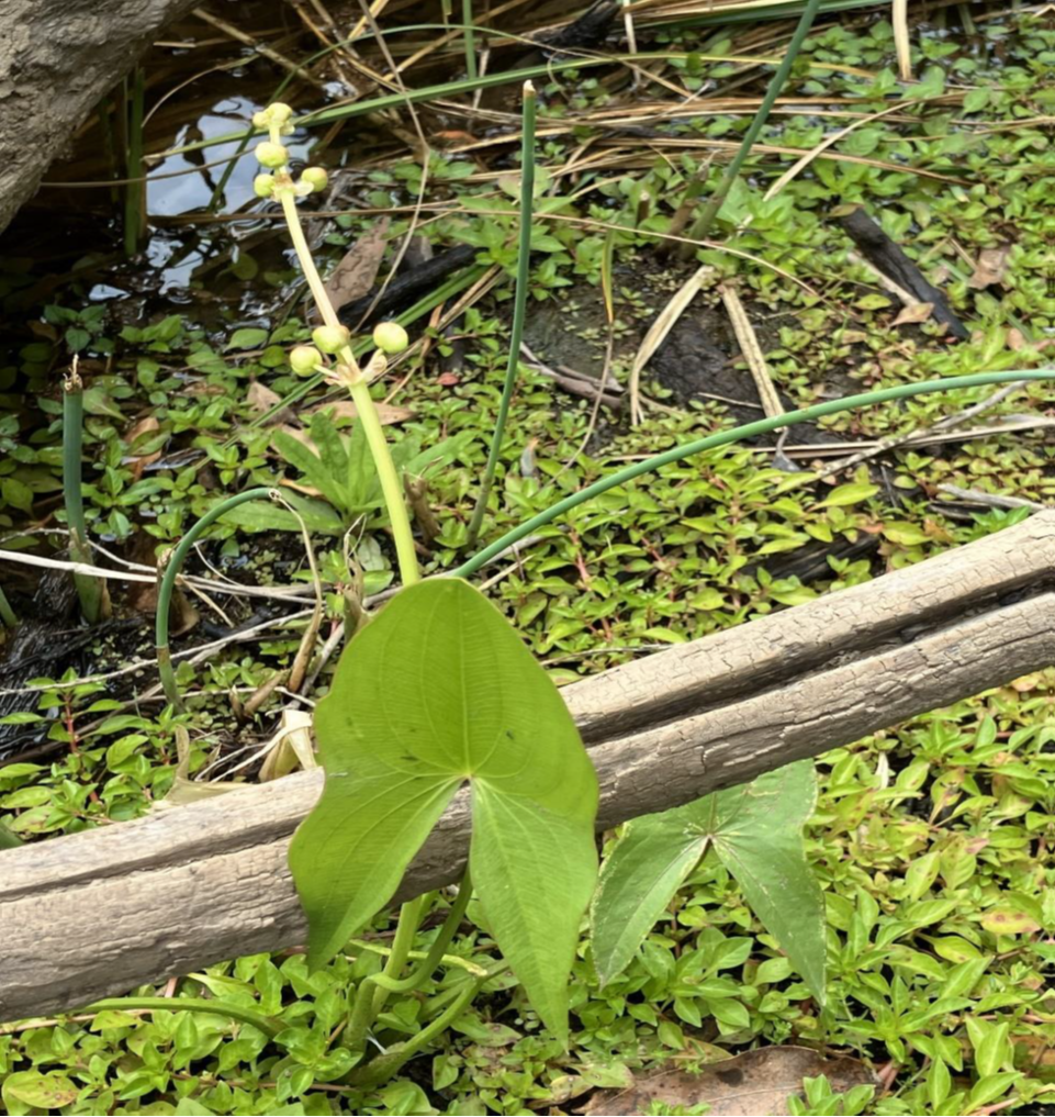
Led by the University of Canberra, this project uses drone imagery to assess riparian vegetation, in-stream plants and the shape of the channel across 25 field sites spanning the whole...
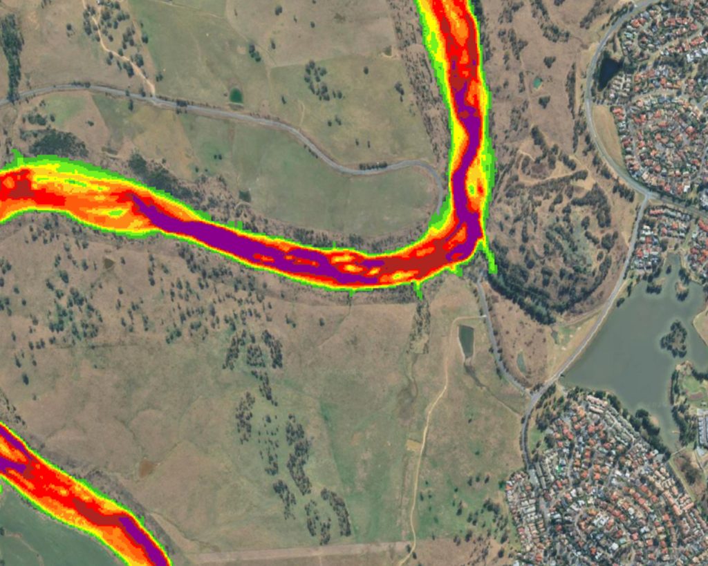
Building on the river mapping, this project models river hydraulics: how water moves through the system under a range of climatic conditions. Using a high-resolution model of the channel and...
See where work is happening across the catchment. Select a marker to read about a project.
This is project 3.
Lorem ipsum dolor sit amet, consectetur adipiscing elit. Maecenas posuere tellus eget metus molestie scelerisque. Praesent nec ultricies sem. Duis vel pharetra elit.
This is where project 1 is happening
This is where project 2 is happening. It is amazing.
Case studies
Case studies will be published here as projects progress. In the meantime, explore the projects directory to see what is planned.
Genetic rescue – Macquarie perch
Moving fish between reaches to rebuild genetic diversity in one of the largest remaining populations of a nationally endangered species.