Delivery Partner:
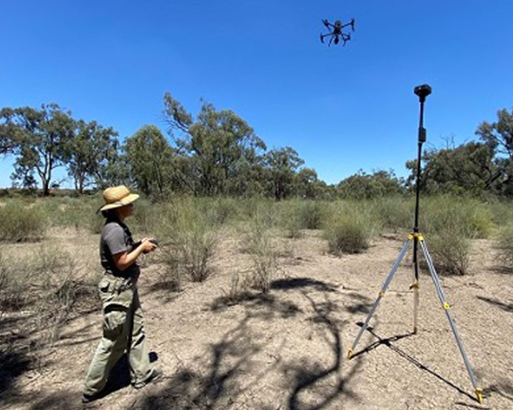
Led by the University of Canberra, this project uses drone imagery to assess riparian vegetation, in-stream plants and the shape of the channel across 25 field sites spanning the whole of the Upper Murrumbidgee catchment. It will establish a repeatable method for measuring condition over time, showing how the catchment varies from place to place and how it responds to management.