The first projects are being finalised with delivery partners and will appear here as they get underway. Check back soon, or subscribe for updates.
Mapping the shape of the river
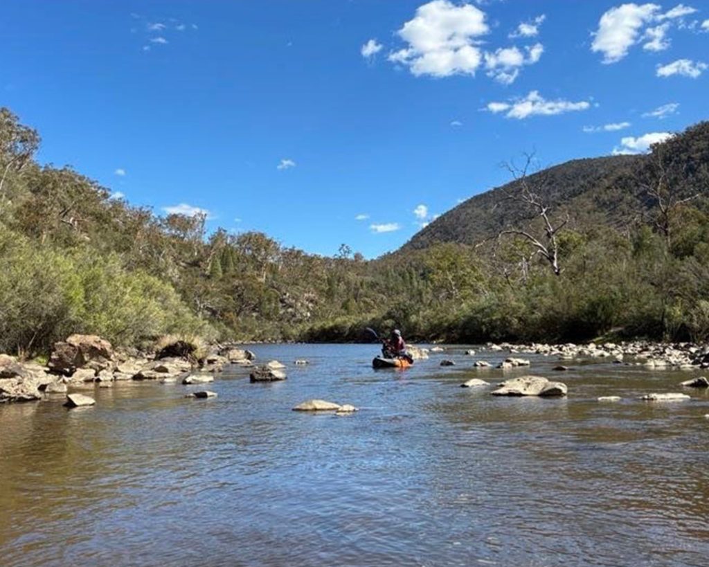
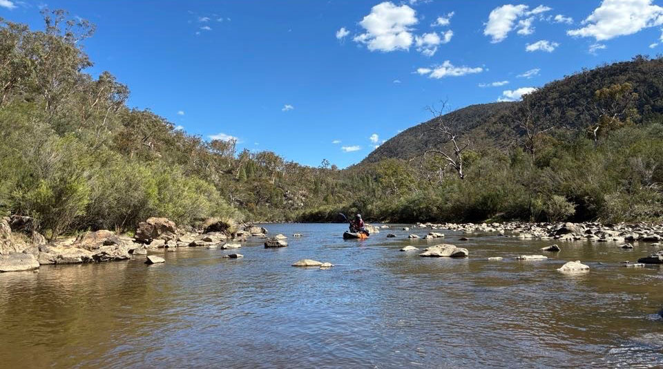
Detailed survey of the depth and shape of 190 kilometres of the Murrumbidgee across the ACT and New South Wales, with fine-scale mapping of four ACT pools at Retallacks, Casuarina...
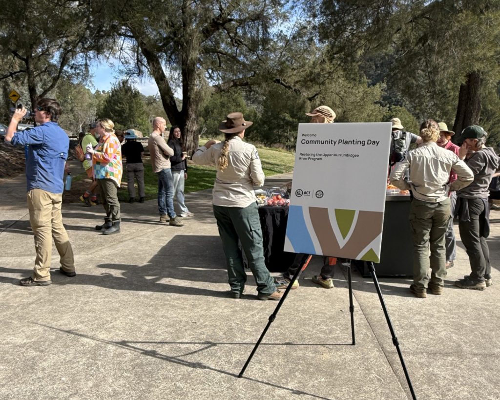
This project supports people along the river to take a more active role in caring for it, through the Upper Murrumbidgee Community Stewardship Grants Program. Grants fund projects designed by...
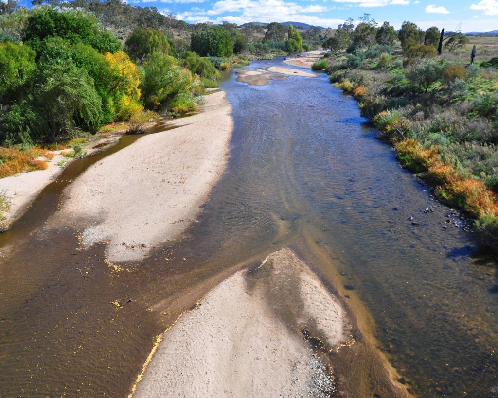
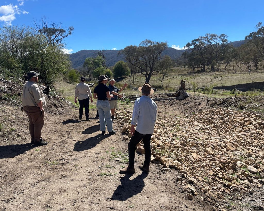
A four-kilometre reach upstream of Point Hut Crossing near Tharwa is the most degraded stretch of the Murrumbidgee in the ACT. Sediment build-up and historic clearing have reduced the river’s...
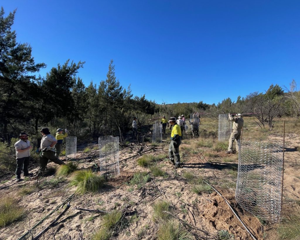
Delivered by the ACT Parks and Conservation Service, this project builds resilience along the Murrumbidgee River corridor from Point Hut Crossing downstream to the northern border of the ACT. It...
The Naas, Gudgenby and Paddys River catchments are among the largest sources of sediment and pollutants entering the upper Murrumbidgee. Work here focuses on stabilising eroding stream banks, excluding stock...
See where work is happening across the catchment. Select a marker to read about a project.
This is project 3.
Lorem ipsum dolor sit amet, consectetur adipiscing elit. Maecenas posuere tellus eget metus molestie scelerisque. Praesent nec ultricies sem. Duis vel pharetra elit.
This is where project 1 is happening
This is where project 2 is happening. It is amazing.
Case studies
Case studies will be published here as projects progress. In the meantime, explore the projects directory to see what is planned.
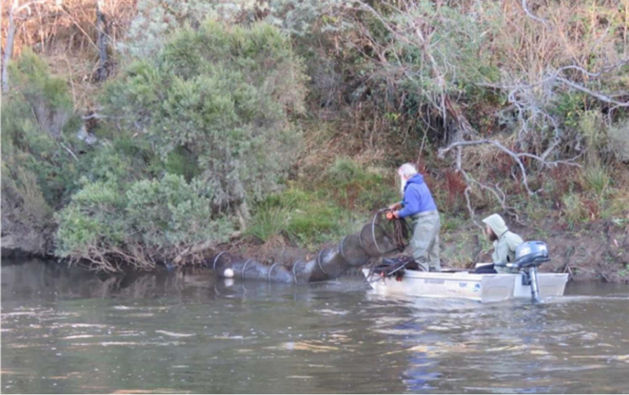
Genetic rescue – Macquarie perch
Moving fish between reaches to rebuild genetic diversity in one of the largest remaining populations of a nationally endangered species.