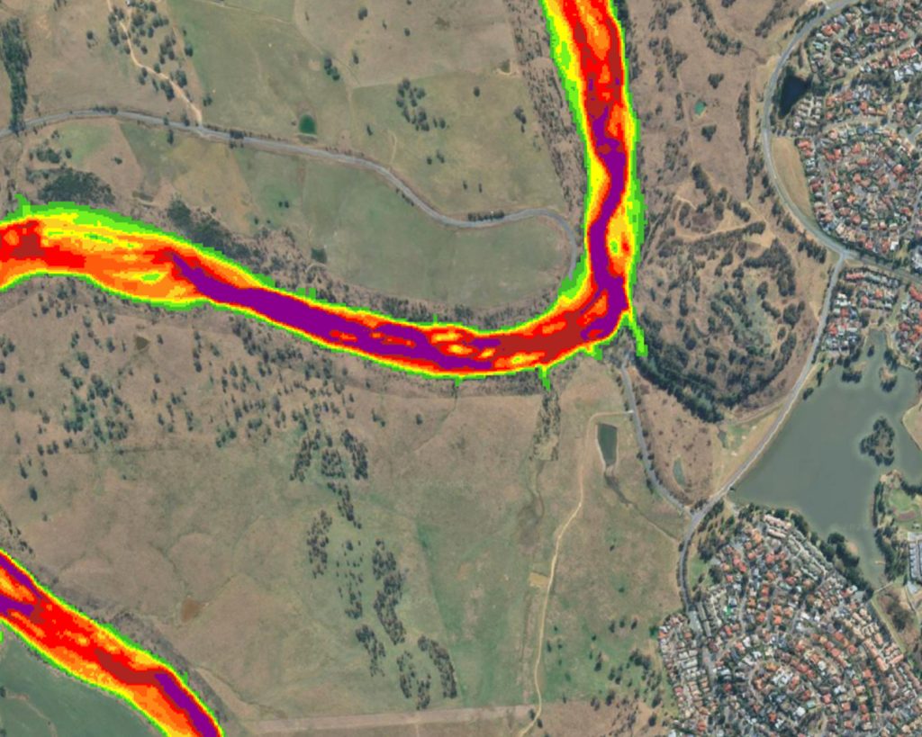
Building on the river mapping, this project models river hydraulics: how water moves through the system under a range of climatic conditions. Using a high-resolution model of the channel and banks, historical gauge records and simulations of low-flow conditions, it will produce maps of water levels, flow velocities and the forces acting on the riverbed. This is foundational for understanding how species move through the river and how sediment is carried.