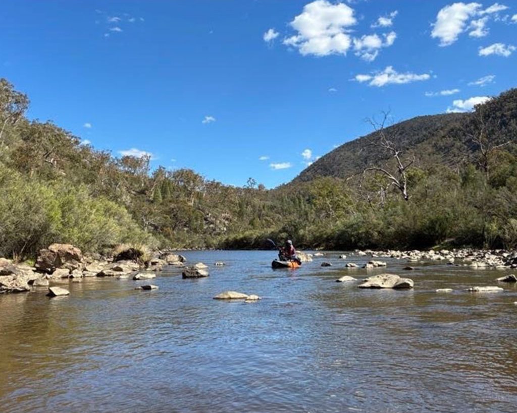
Detailed survey of the depth and shape of 190 kilometres of the Murrumbidgee across the ACT and New South Wales, with fine-scale mapping of four ACT pools at Retallacks, Casuarina Sands, Kambah Pool and Angle Crossing. The data identifies deep-water refuges, shallow riffles and barriers to fish movement, and underpins the flow modelling that follows.
Read more about this completed project, including how the data will be used.