The story of the river
The Murrumbidgee begins in the high country of Kosciuszko National Park and runs just over 400 kilometres north through New South Wales and the ACT before reaching Burrinjuck Dam. It is the upper reach of Australia’s second longest river system, and along its length it changes character many times: snow country, granite gorge, open grazing land, then the outskirts of a capital city.
It is a working river and a living one. It supplies water to Cooma, to Canberra and to the communities and farms in between. Canberra is the largest city in the Murray-Darling Basin, and it drinks from this catchment. The river also holds self-sustaining populations of threatened native fish, including Macquarie perch and Murray cod, and it carries deep cultural significance for First Nations peoples, whose connection to this Country and its waters continues today.
For the people who live along it, the upper Murrumbidgee is where we swim, fish, walk the dog and watch the season turn.
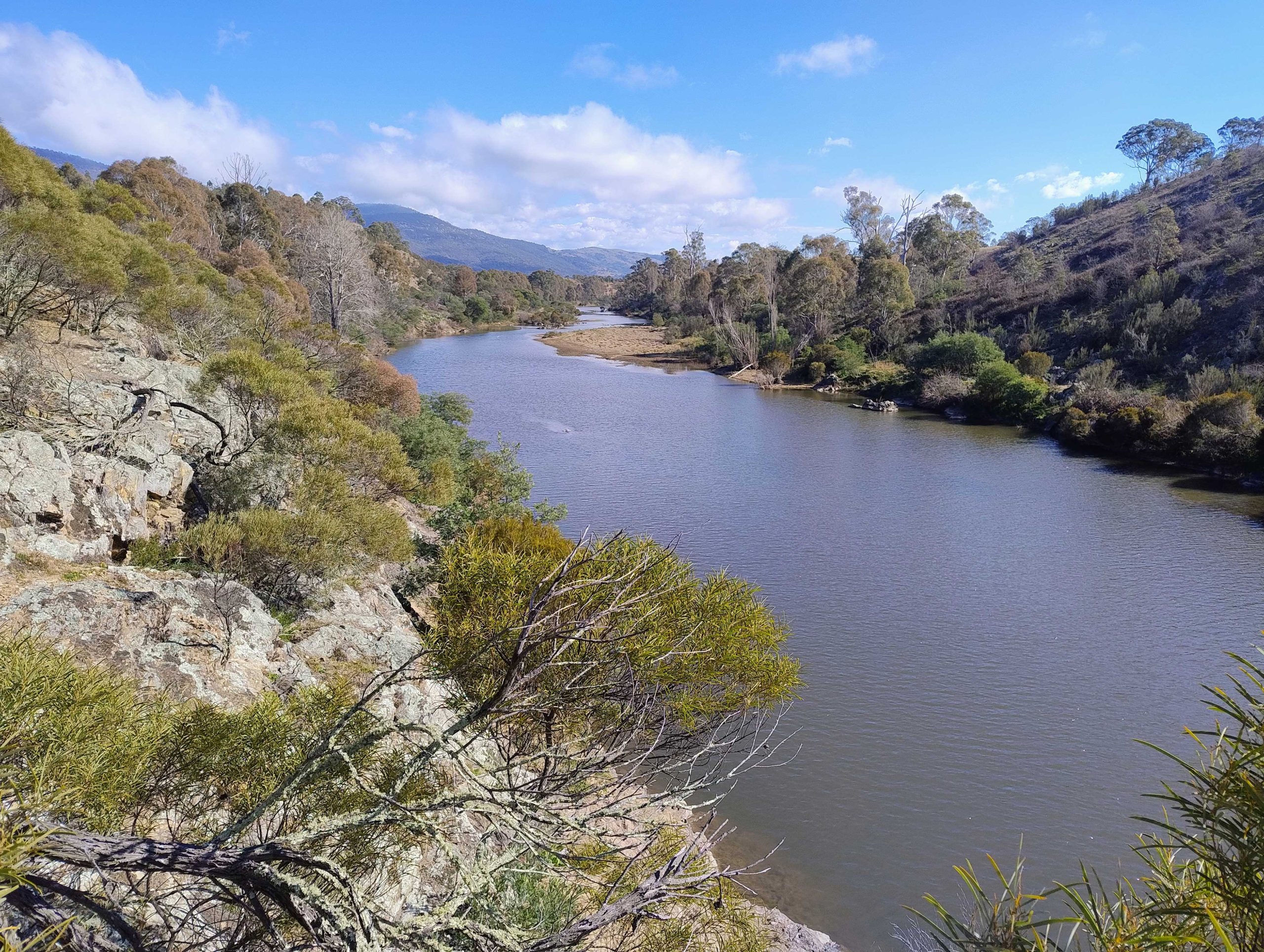
Tharwa Sandwash is a popular recreational spot on the Murrumbidgee River, Photo: Georgianna Fien
Changes to flows
The single biggest change to the upper Murrumbidgee is how much water flows down it.
The Snowy Hydro Scheme captures water in the headwaters and diverts it westward to generate electricity and supply irrigation downstream. More than 90 per cent of the river’s headwater flows are diverted this way. Below that point the upper Murrumbidgee runs on a fraction of the water it once carried.
Flow shapes everything else. Less water means less habitat for native fish, weaker connections between one stretch of river and the next, and a reduced ability to flush sediment, dilute pollutants and recover from drought. Long-term monitoring shows river health declining, driven by altered flows alongside land use change, population growth and a warming, more variable climate. At times these pressures have posed direct risks to water quality and water security.
The Strategy to Improve the Health of the Upper Murrumbidgee takes several approaches at once. Flows are being addressed through the review of the Snowy Water Inquiry Outcomes Implementation Deed, with contingency funding providing additional river flows while that review is completed. Alongside it, this program works on the condition of the banks and beds, the habitat, the evidence base, and the capacity of the people who care for the river. Together they aim at the same outcome – improving the health of the upper Murrumbidgee river for all.
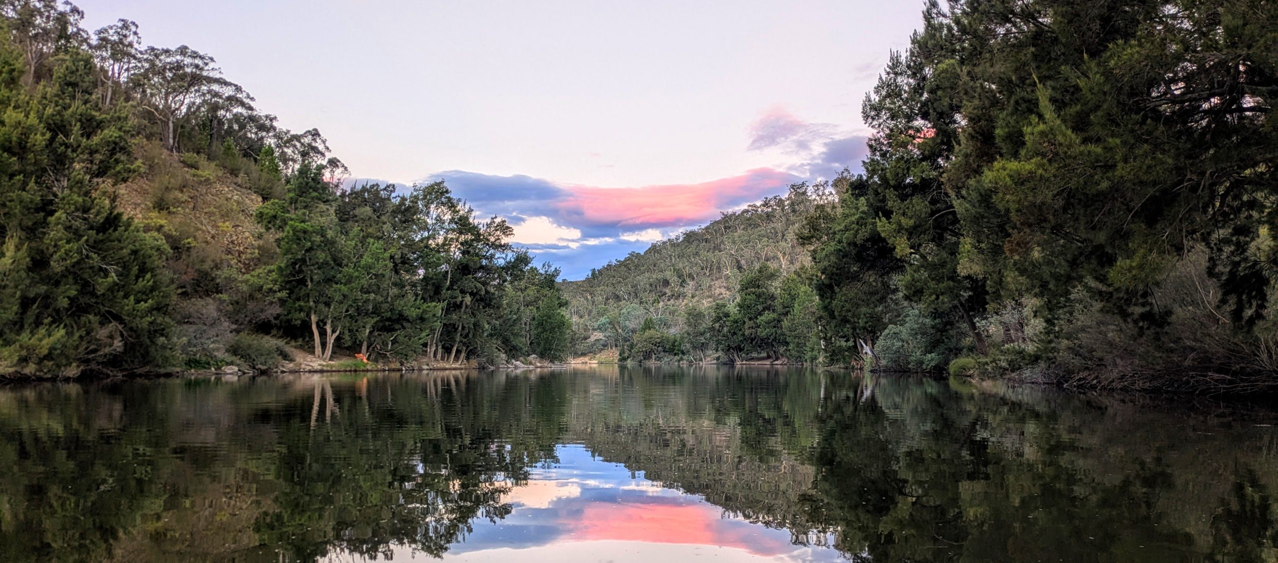
Casuarina Sands on the Murrumbidgee River in the ACT, Photo: Andrew Kahn
How the program came about
In November 2023 the Australian Government committed $55.6 million to improving the health of the upper Murrumbidgee.
The Restoring the Upper Murrumbidgee program–focussed on practical work in the catchment–is investing $20.26 million over five years to June 2029. It funds on-ground restoration work, research and monitoring, and support for First Nations and community participation in caring for the river.
It is delivered in partnership by the ACT and NSW governments.
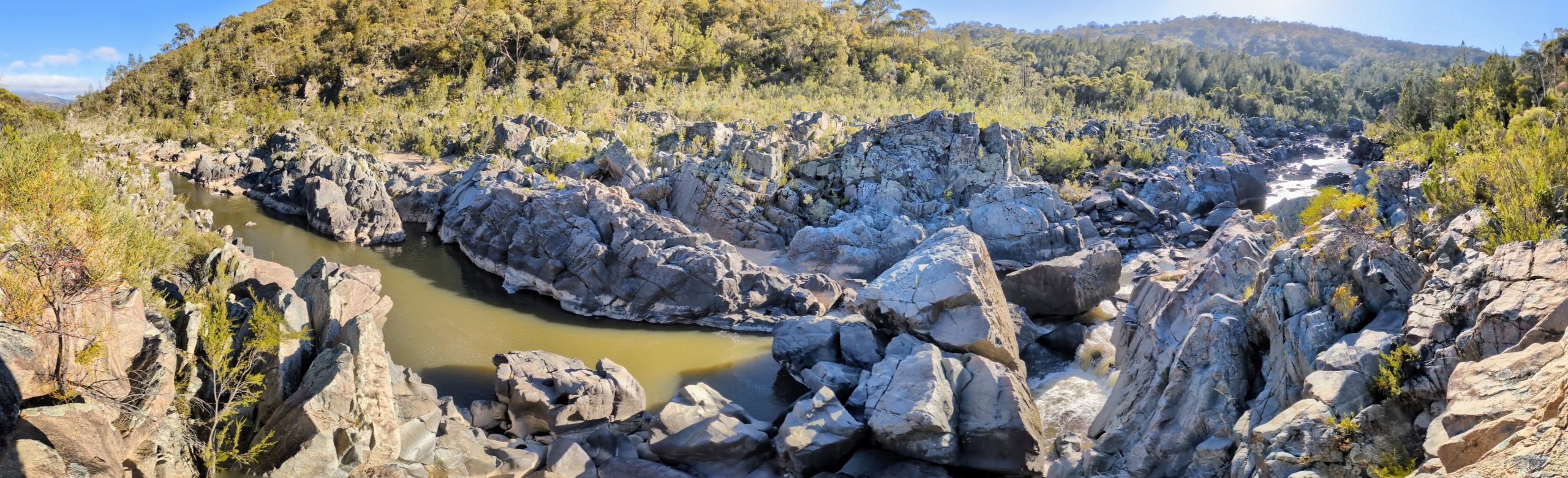
Gigerline Gorge, a remote section of the Murrumbidgee River just after it enters the ACT